
Governments
Military Policies
Economic Policies
Aesthetics
Caravansaries
Civil Prestige
Collectivization
Colonial Offices
Colonial Taxes
Colonization
Corvée
Craftsmen
Ecommerce
Economic Union
Expropriation
Five-Year Plan
Free Market
God King
Gothic Architecture
Grand Opera
Heritage Tourism
Ilkum
Insulae
Land Surveyors
Liberalism
Market Economy
Medina Quarter
Natural Philosophy
Naval Infrastructure
New Deal
Online Communities
Public Transport
Public Works
Rationalism
Religious Orders
Resource Management
Satellite Broadcasts
Scripture
Serfdom
Simultaneum
Skyscrapers
Sports Media
Third Alternative
Town Charters
Trade Confederation
Triangular Trade
Urban Planning
Diplomatic Policies
Great Person Policies
Golden Age Policies
Dark Age Policies
Wildcard Policies


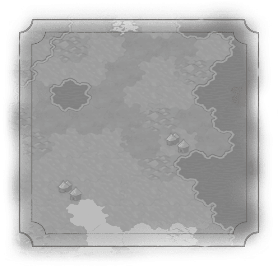
Land Surveyors
Description
Reduces the cost of purchasing a tile by 20%.
Historical Context
Once the idea of ownership of the land was ingrained in humanity, methods for determining boundaries were necessary. In ancient Egypt, a rope with knots could be used with simple geometry to re-establish boundaries after the annual floods along the Nile. Land surveyors were also at work around those old monuments tourists are now enamored of; Stonehenge was laid out by surveyors using pegs and ropes, as was the Great Pyramid of Giza. The Chinese Liu Hui described methods of surveying in works published c. 263 AD. But it was the Romans who first acknowledged land surveying as a profession; there, surveyors were known as Gromatici, so named after the Groma instrument dating back to ancient Mesopotamia.