

Mount Kilimanjaro
Description
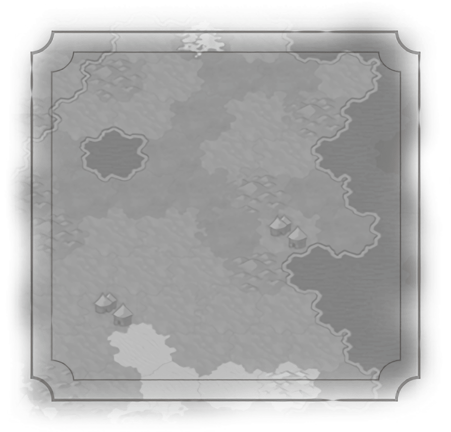
One tile impassable natural wonder. Provides +2  Food to adjacent tiles.
Food to adjacent tiles.Historical Context
In the Maasai language, Kilimanjaro is known as Ngaje Ngai, the “House of God.” Composed of three volcanic cones, the highest reaching 5,900 meters (19,340 feet) – making it the highest point in Africa and the highest free-standing mountain in the world – the Kilimanjaro massif lies in northeastern Tanzania. Considered a stratovolcano, two of its peaks (Mawenzi and Shira) are extinct, while its highest (Kibo) is dormant; its last eruption dates back approximately 150 thousand years. After multiple failed attempts, the top of Kibo was finally reached in 1889 AD by the German Hans Meyer and Austrian Ludwig Purtscheller, who confirmed that Kibo did indeed have a crater. Despite the subsequent traipsing about on it, Kibo wasn’t actually mapped until 1964, based on aerial photography done a few years earlier.
“As it turns out, Mount Kilimanjaro is not wi-fi enabled, so I had to spend two weeks in Tanzania talking to the people on my trip.”
– Nancy Bonds
– Nancy Bonds
Traits
 Appeal to Adjacent Tiles: 2 Impassable
Description
One tile impassable natural wonder. Provides +2 Food to adjacent tiles.
Food to adjacent tiles.Historical Context
In the Maasai language, Kilimanjaro is known as Ngaje Ngai, the “House of God.” Composed of three volcanic cones, the highest reaching 5,900 meters (19,340 feet) – making it the highest point in Africa and the highest free-standing mountain in the world – the Kilimanjaro massif lies in northeastern Tanzania. Considered a stratovolcano, two of its peaks (Mawenzi and Shira) are extinct, while its highest (Kibo) is dormant; its last eruption dates back approximately 150 thousand years. After multiple failed attempts, the top of Kibo was finally reached in 1889 AD by the German Hans Meyer and Austrian Ludwig Purtscheller, who confirmed that Kibo did indeed have a crater. Despite the subsequent traipsing about on it, Kibo wasn’t actually mapped until 1964, based on aerial photography done a few years earlier.
“As it turns out, Mount Kilimanjaro is not wi-fi enabled, so I had to spend two weeks in Tanzania talking to the people on my trip.”
– Nancy Bonds
– Nancy Bonds
Traits
Appeal to Adjacent Tiles: 2 Impassable